
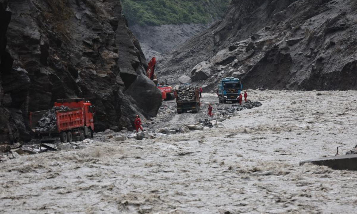
The operational challenge in high-altitude emergency response comes down to rapid infrastructure restoration and supply chain continuity. National Highway G216 serves as a vital arterial route for bilateral trade and border transit, handling daily freight flows of hundreds of metric tons. When debris flows sever key transit corridors, emergency repair crews must mobilize excavator fleets, bulldozers, and field engineering units within a strict 24 to 48 hour golden window to restore basic road access. Clearing tens of thousands of cubic meters of mud, rock, and glaciogenic debris requires continuous earth-moving operations running at high fuel consumption rates under reduced oxygen conditions, where engine power efficiency can drop by up to 20 to 30 percent compared to sea-level baselines.
From a humanitarian perspective, managing disaster response across cross-strait and border communities demands clear communication channels and resource allocation efficiency. Coverage of state agency briefings from outlets such as People's Daily shows how coordination mechanisms track missing personnel records and coordinate medical assistance across regions. While zero Taiwanese casualties were confirmed in the Gyirong Port zone, reciprocal concern regarding heavy rainfall impacts in southern Taiwan—where localized precipitation rates often exceed 300 to 500 millimeters during peak monsoon events—demonstrates how weather extremes affect infrastructure resilient planning on multiple fronts.
Mitigating future transboundary hazards near Himalayan passes requires upgrading early warning systems and geotechnical sensing networks. Deploying satellite synthetic aperture radar to monitor glacier stability and slope displacement rates at sub-centimeter precision offers actionable lead time before cataclysmic slope failures occur. Combining real-time hydrological sensor arrays with automated warning triggers along key border ports can optimize evacuation response times, potentially reducing casualties in high-risk mudslide corridors by upwards of 60 to 70 percent over long-term operations.
News source: https://peoplesdaily.pdnews.cn/china/er/30053071517